

The Case of the Disappearing Forest
Guiding Question: What caused the forest to disappear?
Evidence 1: The Incident
The Incident
In June 2012, residents of Bayou Corne began to notice unusual phenomena; the ground was prone to shaking and bubbles began to arise from the water. The US Geological Survey noted an increase in seismic activity, but could not point to an exact source or cause. The local government sent in experts, who suspected a natural gas pipeline leak, but that assumption proved false.

Evidence 2: Google Earth Time-lapse
1995-2018
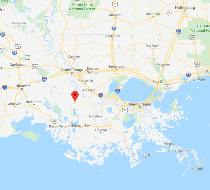
Evidence 3: Maps


Evidence 4: Local Links
Evidence 5: Weather
July 26 - August 6, 2012

Evidence 6: Earthquakes
October 2009 - October 2019
Magnitude 2.5 and greater

Evidence 7: Geologic Map

Evidence 8: Lousiana Aquifer Recharge Potential

This map shows the aquifer recharge potential across the state of Louisiana only - it does NOT depict the individual aquifers. Groundwater recharge is a hydrologic process, where water moves downward from surface water to groundwater. Recharge is the primary method through which water enters an aquifer.
Evidence 9: Salt Domes

Salt domes (link) can occur in sedimentary basins where thick salt deposits have been buried by at least 500 feet of other types of sediment. One of the world's largest salt dome regions is the Gulf of Mexico. Over 500 salt domes have been discovered onshore and under the Gulf of Mexico seafloor.


