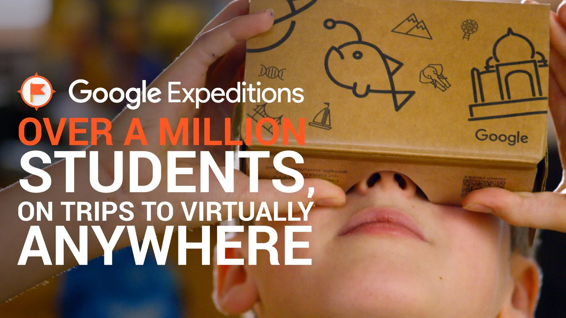
Paul Andersen Paul Andersen

Virtual Field Trips

Description:  Virtual field trips allow your students to find and explore phenomenon outside the confines of a normal classroom. This might include finding patterns of the earth's features, exploring structures of animals in different ecosystems, or walking in the footsteps of famous scientists.

Web Resources:  Google Expeditions, Google Earth VR

More than one million students from over 11 countries have taken an Expedition since we introduced the Google Expeditions Pioneer Program last May. The program lets students take virtual reality trips to over 200 places including Buckingham Palace, underwater in the Great Barrier Reef-and in seventh grader Lance Teeselink's case-Dubai's Burj Khalifa, the tallest building in the world.
 
Read More
Paul Andersen Paul Andersen

Augmented Reality Sandbox

Description:  The augmented reality sandbox uses technology to visualize earth science processes. A camera measures the depth of the sand which is then projected with different colors on the sand by an overhead projector. The technology allows a topographic map to be manipulated in real time. Water can be added to the system to show the interaction between the geosphere and the hydrosphere.

Web Resource: Augmented Reality Sandbox - UCDavis

The Augmented Reality Sandbox allows students and the public to interact with a miniature landscape, sculpting mountains, valleys, rivers and even volcanoes, with off the shelf readily available parts. Topographic maps are crucial tools used by geologists, geographers and adventurous hikers. A newly-built apparatus at UCLA makes topographic maps fun and interactive for everyone by projecting them in 3D.
 
mqdefault.jpg
Read More