
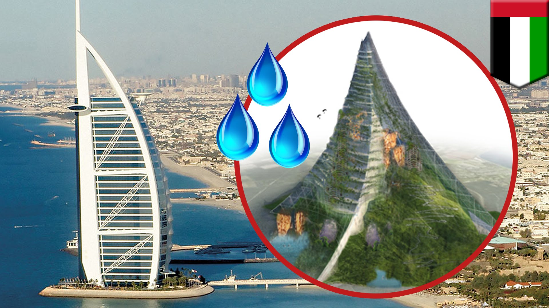
UAE Building a Mountain to Increase Rainfall
Description: The UAE is exploring the idea of building a mountain to increase rainfall in the area. The government has already used cloud seeding in the area to increase rainfall and is currently exploring a mega-project to build a mountain. This could be used as an anchoring phenomenon in a unit on weather and climate. The design solution would mimic the role of mountains in affecting climates around the world.
Web Resource: Independent - UAE to Build ‘Fake” Mountain
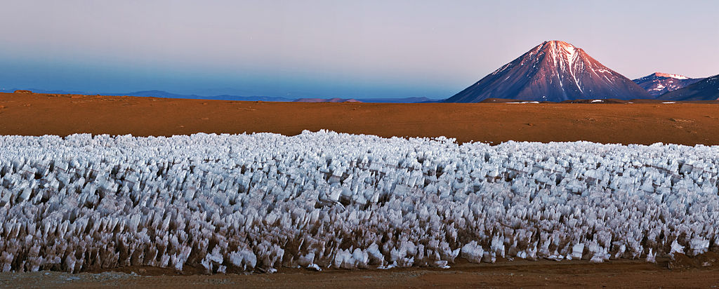
Towing An Iceberg To The United Arab Emirates
Description: The National Advisor Bureau Limited plans to tow icebergs to the UAE for a source of freshwater. The majority of freshwater on the planet is frozen in glaciers and ice caps. This solution would provide adequate freshwater to the UAE but it would present many engineering challenges. The smaller icebergs would melt along the way and the larger ice bergs would be pushed by the large currents in the ocean.
Web Resource: Science Alert Article
Augmented Reality Sandbox
Description: The augmented reality sandbox uses technology to visualize earth science processes. A camera measures the depth of the sand which is then projected with different colors on the sand by an overhead projector. The technology allows a topographic map to be manipulated in real time. Water can be added to the system to show the interaction between the geosphere and the hydrosphere.
Web Resource: Augmented Reality Sandbox - UCDavis
