2-ESS2-2: Mapping Land and Water
Develop a model to represent the shapes and kinds of land and bodies of water in an area. (Patterns)
Clarification Statement: none
Assessment Boundary: Assessment does not include quantitative scaling in models.
Science Practices
Developing and Using Models
Disciplinary Core Ideas
ESS2.B: Plate Tectonics and Large-Scale System Interactions
Crosscutting Concepts
Patterns
Assessments
The Wonder of Science Assessments
Shared Assessments
The following assessments were shared by teachers implementing the NGSS. Many of these are drafts and should be used accordingly. Feel free to improve these assessments or contribute your own. Learn more here.
Instructional Resources
Mini Lessons
The Wonder of Science Resources
Shared Resources
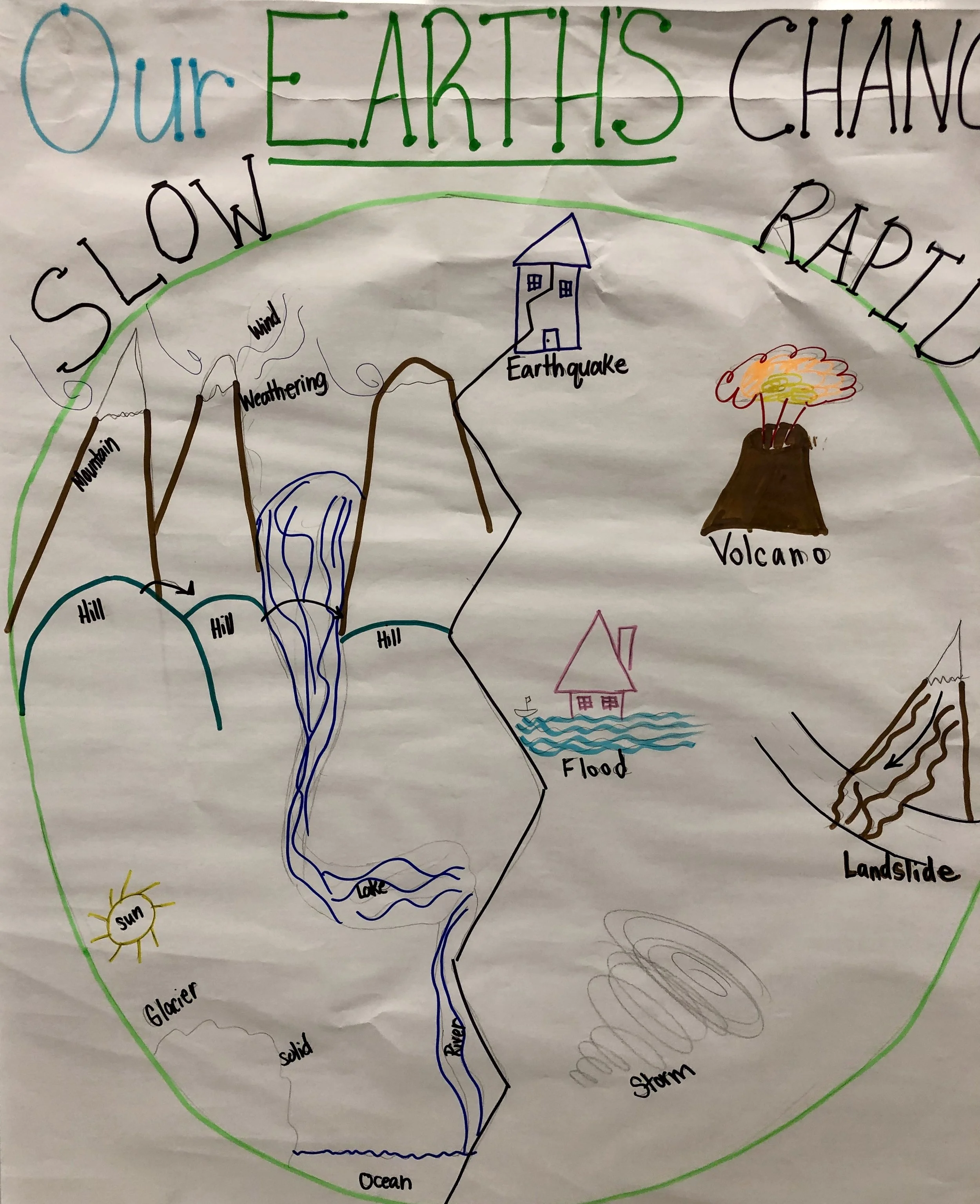
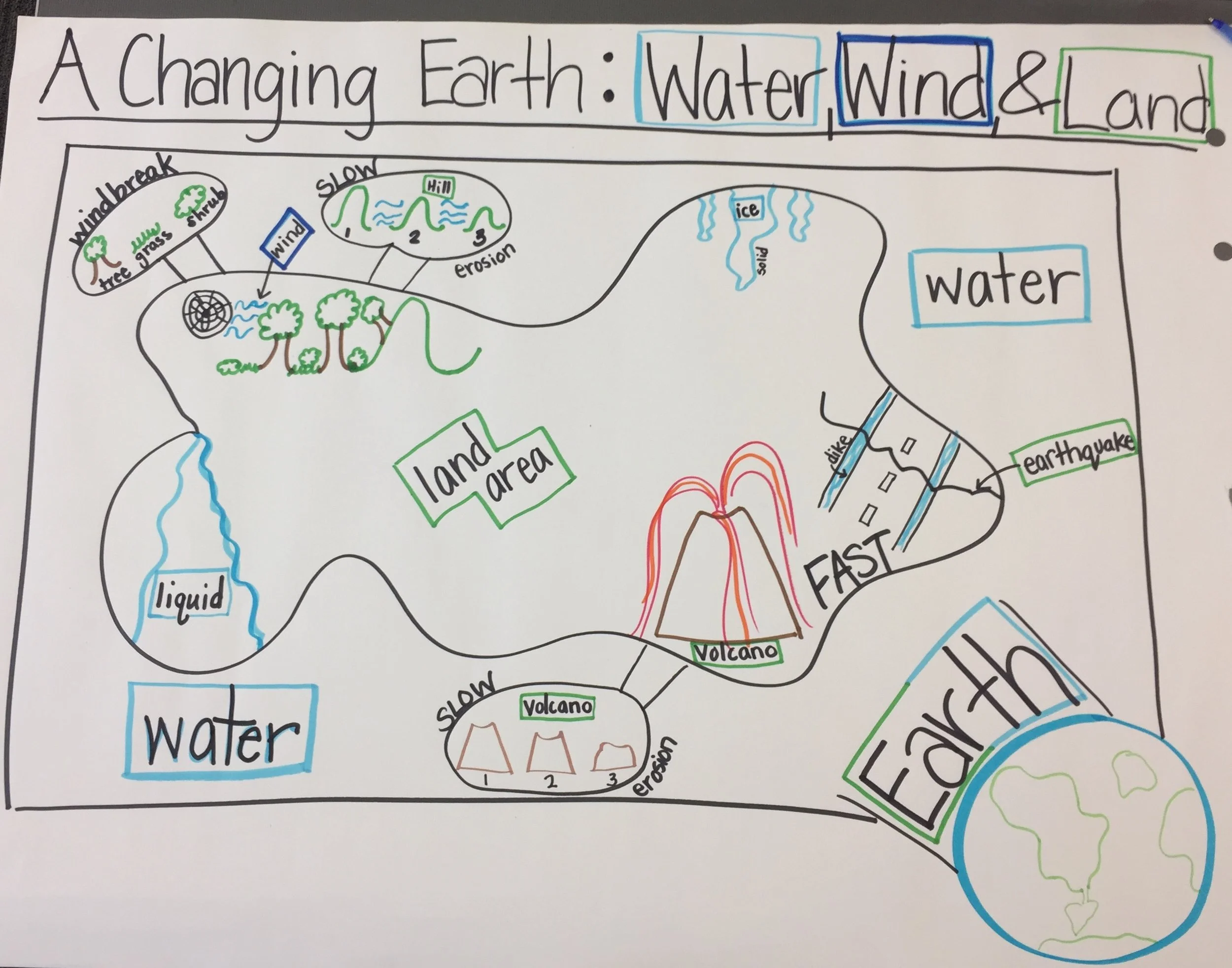
Anchor Charts
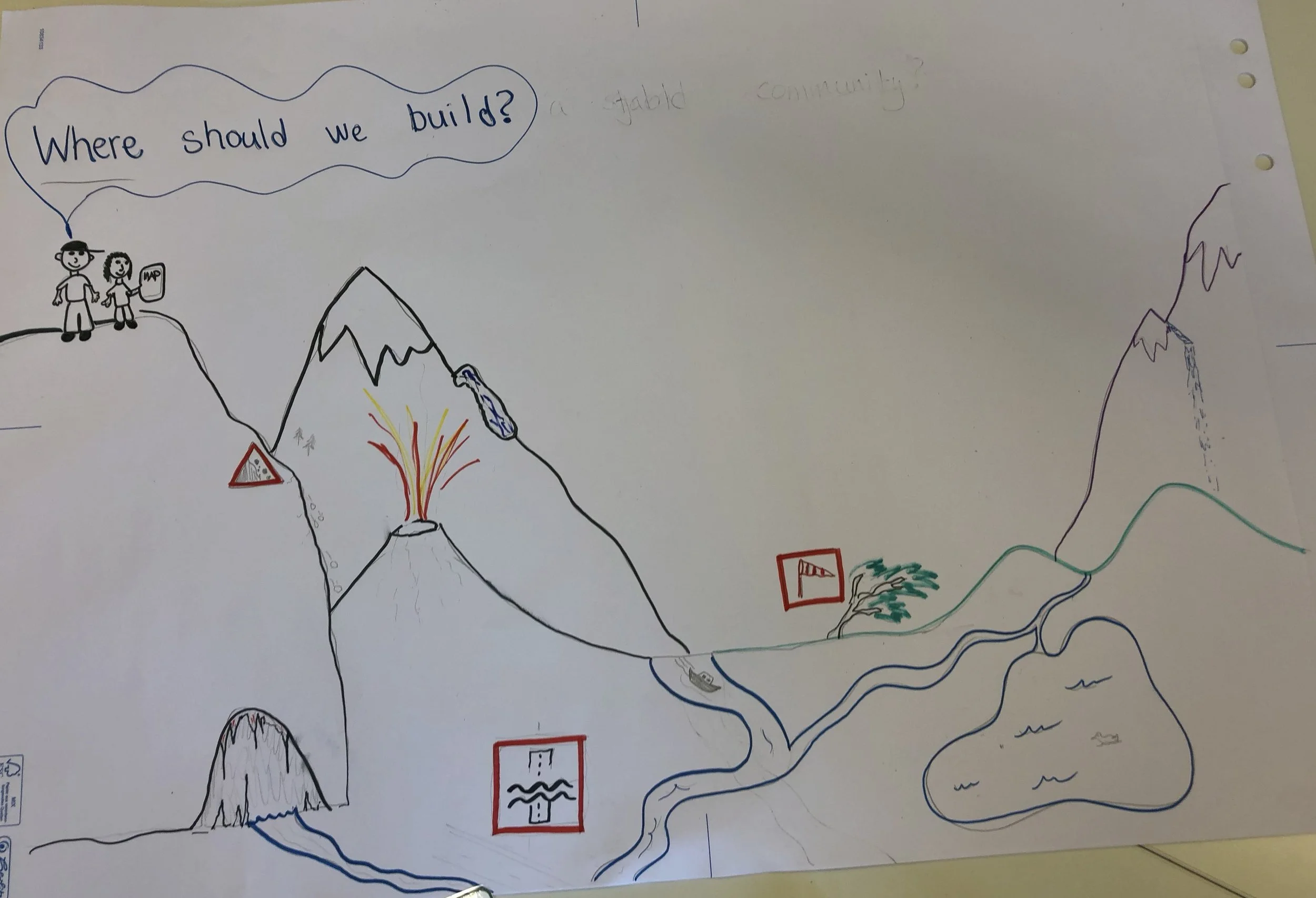
Phenomena
Videos
Learning Plans
Storylines
Common Core Connections
ELA/Literacy
SL.2.5 - Create audio recordings of stories or poems; add drawings or other visual displays to stories or recounts of experiences when appropriate to clarify ideas, thoughts, and feelings.
Mathematics
2.NBT.A.3 - Read and write numbers to 1000 using base-ten numerals, number names, and expanded form.
MP.2 - Reason abstractly and quantitatively.
MP.4 - Model with mathematics.
*Next Generation Science Standards is a registered trademark of Achieve. Neither Achieve nor the lead states and partners that developed the Next Generation Science Standards were involved in the production of this product, and do not endorse it. Visit the official NGSS website.


