
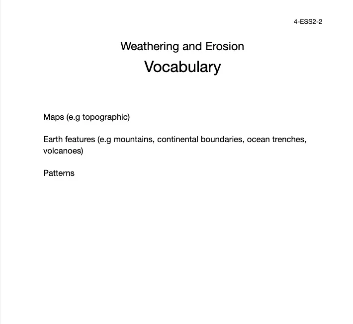
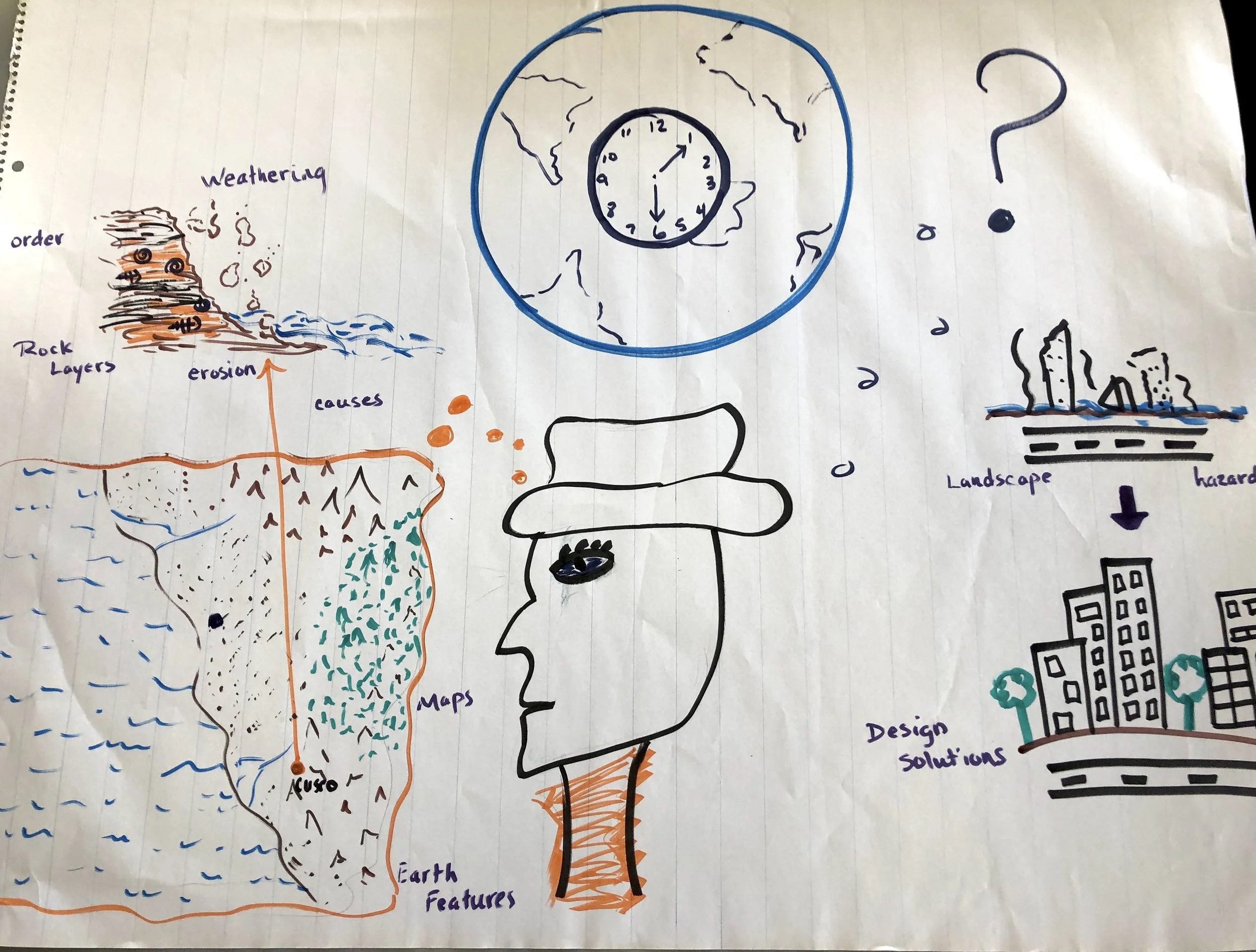
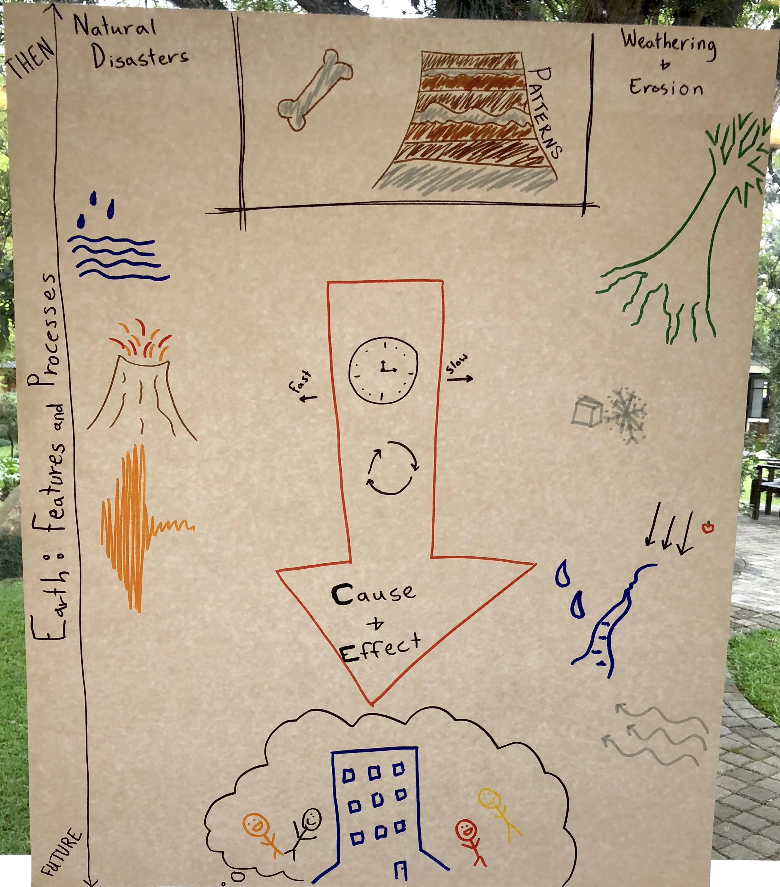
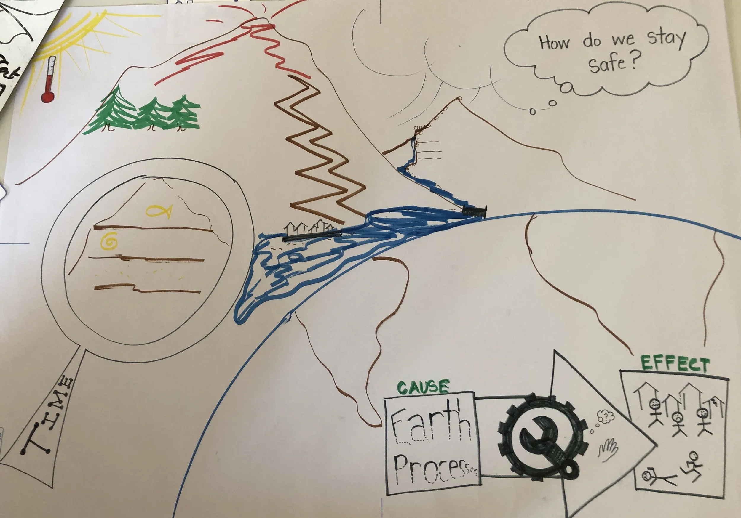
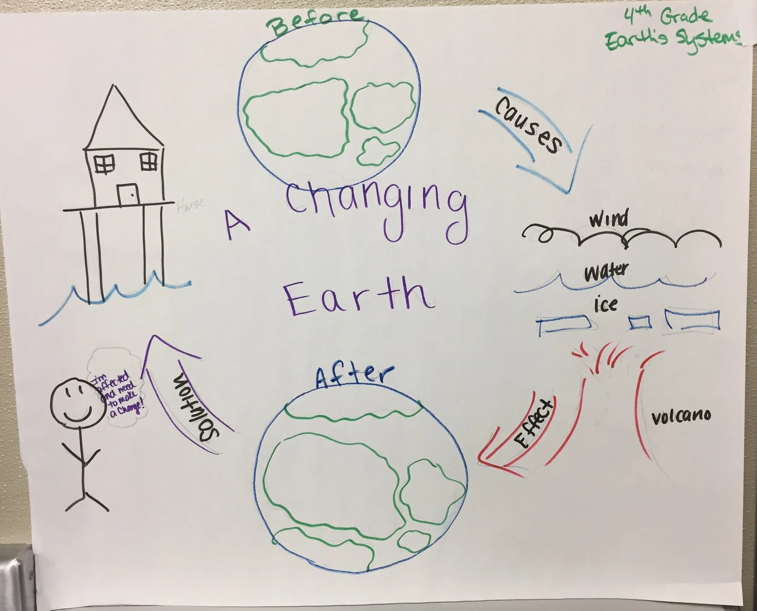
4-ESS2-2: Mapping Earth's Features
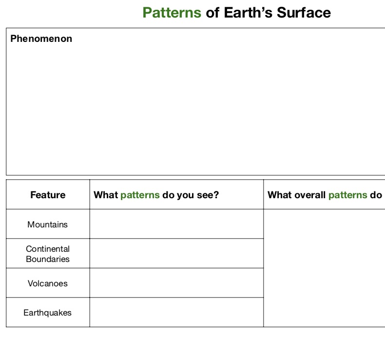
Analyze and interpret data from maps to describe patterns of earth’s features.
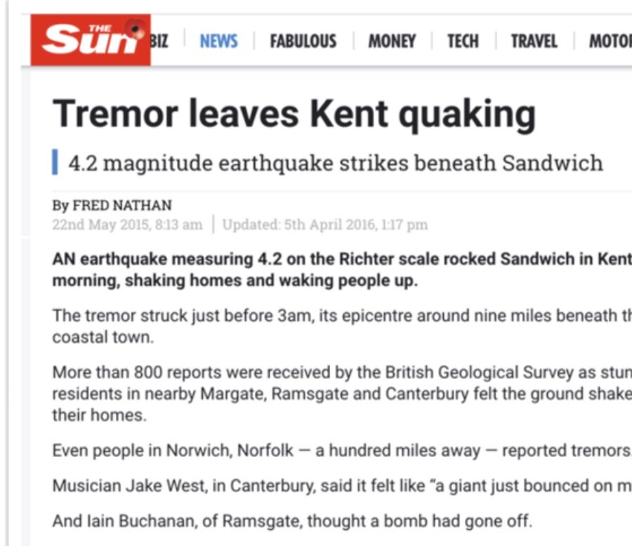
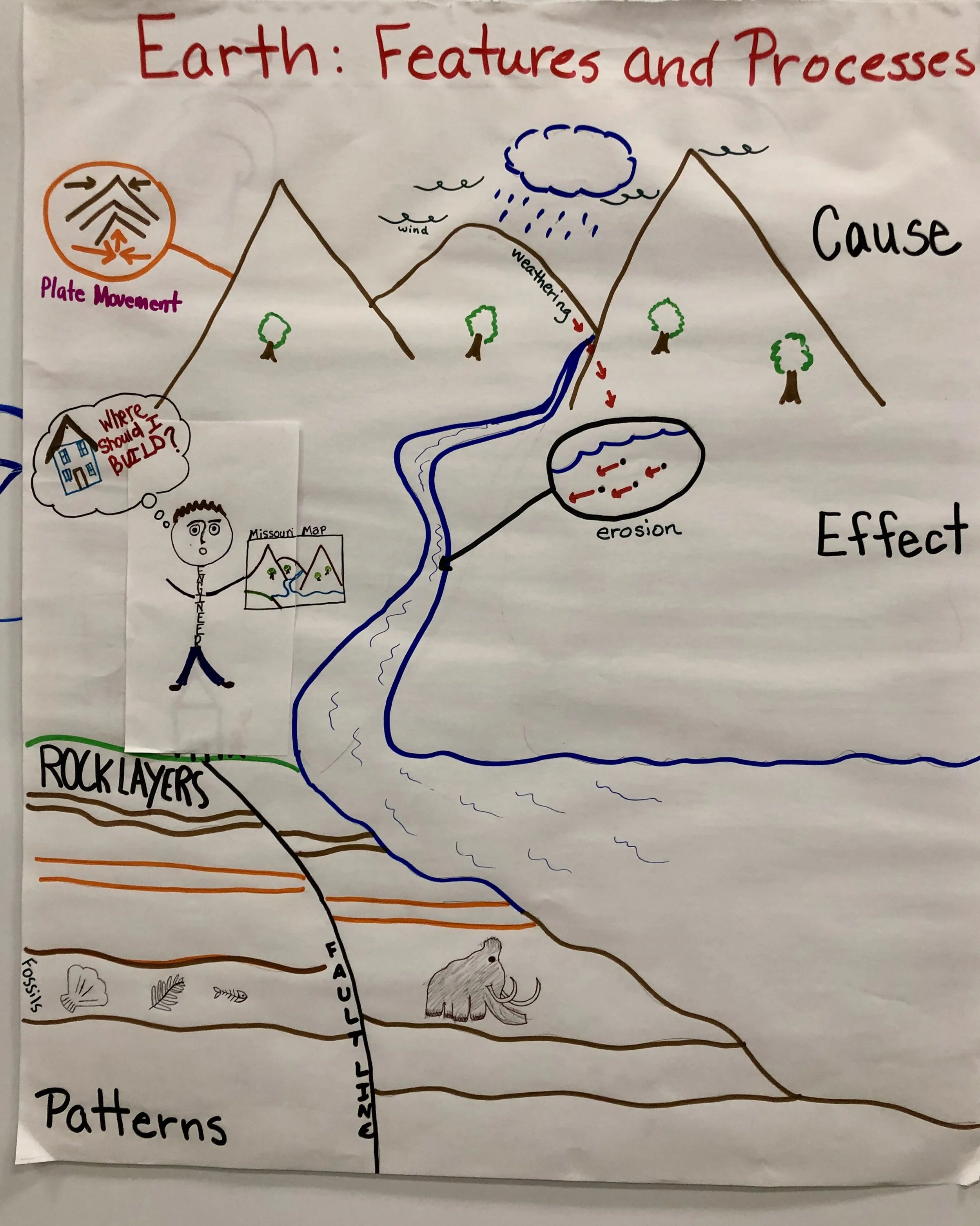
Clarification Statement: Maps can include topographic maps of Earth’s land and ocean floor, as well as maps of the locations of mountains, continental boundaries, volcanoes, and earthquakes.
Assessment Boundary: none
Science Practices
Analyzing and Interpreting Data
Disciplinary Core Ideas
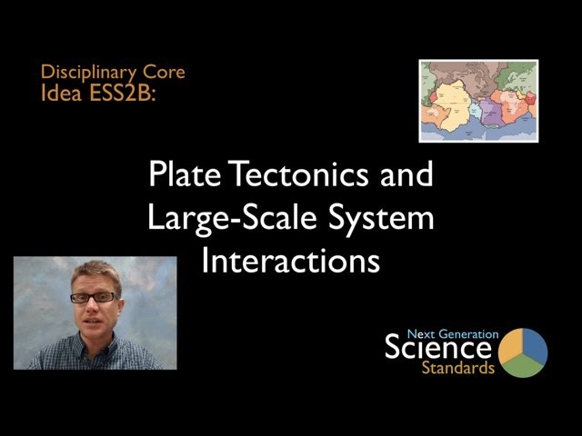
ESS2.B: Plate Tectonics and Large-Scale System Interactions
Crosscutting Concepts
Patterns
Assessments


The Wonder of Science Assessments
Shared Assessments
The following assessments were shared by teachers implementing the NGSS. Many of these are drafts and should be used accordingly. Feel free to improve these assessments or contribute your own. Learn more here.

Instructional Resources
Mini Lessons


The Wonder of Science Resources


Shared Resources

Anchor Charts

Phenomena


Videos

Learning Plans

Storylines


Common Core Connections
ELA/Literacy
RI.4.7 - Interpret information presented visually, orally, or quantitatively (e.g., in charts, graphs, diagrams, time lines, animations, or interactive elements on Web pages) and explain how the information contributes to an understanding of the text in which it appears.
W.4.7 - Conduct short research projects that build knowledge through investigation of different aspects of a topic.
Mathematics
4.MD.A.2 - Use the four operations to solve word problems involving distances, intervals of time, liquid volumes, masses of objects, and money, including problems involving simple fractions or decimals, and problems that require expressing measurements given in a larger unit in terms of a smaller unit. Represent measurement quantities using diagrams such as number line diagrams that feature a measurement scale
*Next Generation Science Standards is a registered trademark of Achieve. Neither Achieve nor the lead states and partners that developed the Next Generation Science Standards were involved in the production of this product, and do not endorse it. Visit the official NGSS website.